Engaging Students with Multimedia Mapping Tools
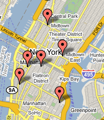 New mapping technologies are increasingly being used by teachers to creatively engage students in field work projects. Prof. Kenneth Jackson's New York Neighborhoods Wiki used Google and other mapping software to help students create unique research about local New York City history. This wiki allowed small groups of students to collaboratively write a walking tour of a neighborhood in New York City using the mapping software, government agency maps, historical and original images, interviews, and other data.
The Johns Hopkins Center for Educational Resources has developed a web-based multimedia Interactive Map Tool to support digital field assignments in undergraduate courses. Students assemble digital images, audio, and video into interactive multimedia maps using this tool. The sites created help students understand the connections between course concepts and space in new ways.
Minnesota Interactive Internet Mapping (MIIM) Project provides basic geographic information science (GIS) tools for a variety of classes via a web browser, avoiding the expense in training and software of typical GIS applications. MIIM hosts over 40 different kinds of data ranging from census information to aerial photography. You can sample the tool by visiting their website at the above link.